
3. Briggs Creek Trail
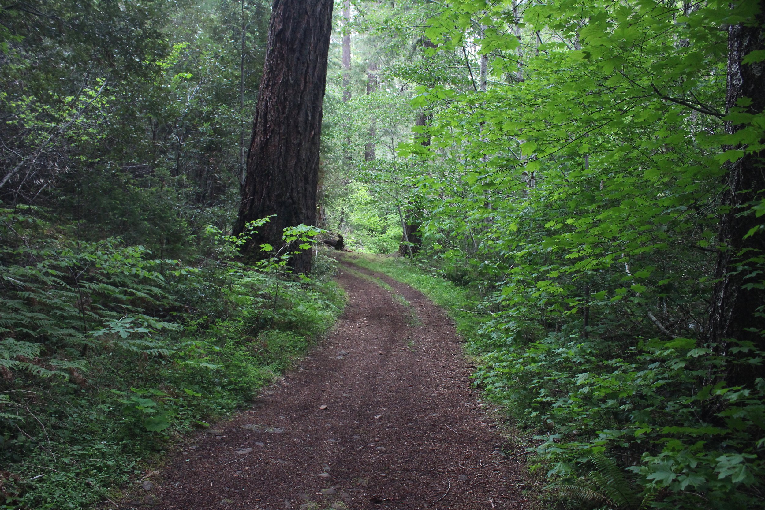
The Briggs Creek Trail is named after a packer named George E. Briggs who supplied equipment to miners back in the 1800s. The hike features some of the largest Ponderosa pines in the world. Old-growth cedar and Douglas fir can also be found on this trail.
Hike Description:
The trail travels through old-growth stands of Sugar pine, Douglas fir, and cedars. There are several smaller creeks, springs and some marshy areas that must be crossed along the way. The hike is a pleasant walk through the forest, and if you hike longer down the Briggs Creek trail you may find blowdowns and brush from the Taylor Creek Fire of 2018. As you are walking on the trail, you will pass 'bluffs' which are the remnants of hydraulic mining.
While the length of the trail is 10 miles, a nice turn around spot is the old Elkhorn mine site, about 2.75 miles in. After Elkhorn mine, you cross Briggs creek again and eventually enter into a forest dominated by madrone and oak trees.
There are many creek crossings along this trail making summer or early fall the best time to hike.
Directions:
From Merlin, OR take the Merlin-Galice road for 8.5 miles and turn left onto Forest Service road NF-25. Drive 13.4 miles then turn right onto Forest Service road NF-2512. The trailhead is at the Sam Brown horse camp, or off the hairpin turn 0.3 miles past the camp. there will be a steep downhill to the left (this part is best for 4 wheel drive only). Trail is shorter this way.
Caution:
Always use caution, good planning, and check in with managing agencies before embarking on a trip. Don’t forget to pack maps, extra layers, plenty of food and water, a first aid kit, and a cell phone in case of an emergency. It is a good idea to let someone know where you are going and when you intend to be back. Be aware that weather and road conditions can change in an instant. KS Wild assumes no liability if you intend to visit any of the places featured in our materials.