
Your how to guide: Making the most of the hot summer months in the Klamath-Siskiyou region
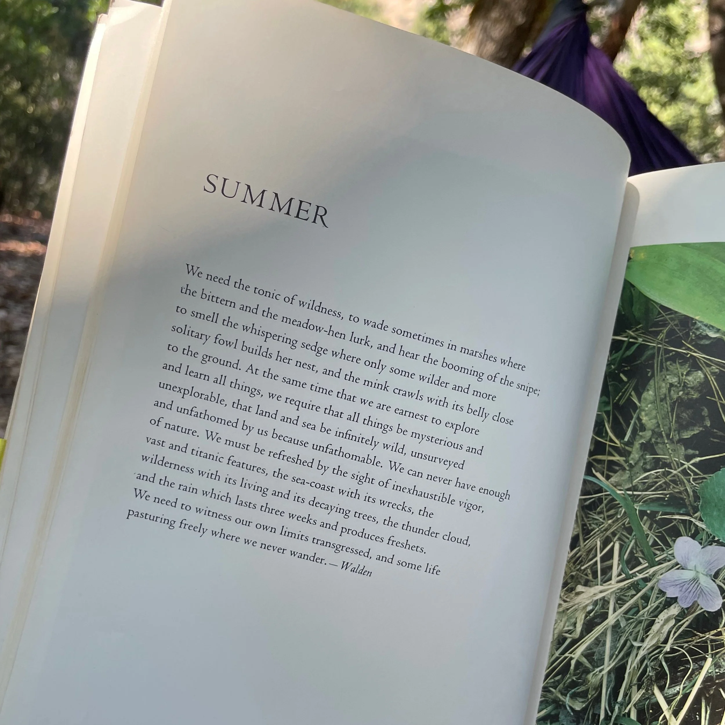
An excerpt from Walden by Henry David Thoreau
Written by the KS Wild team in July 2026
The summer is heating up, and in many instances, folks may retreat to their cool air conditioned homes and wait it out for fall…but that’s not how we do it here at KS Wild! We know that summertime is one of the best times to get outside across the Klamath-Siskiyou region to connect with our public lands and waters, and we want to share our guide in how to make the most of the summer ahead.
Our favorite swimming holes across the region
Nestled in the 8-million acres of public lands across southern Oregon and northern California are some of the most pristine wild rivers in the lower 48. We’ve got Wild & Scenic Rivers, we’ve got cool mountain streams, and we’ve got ample lakes to explore to keep your adventuring going all summer long…
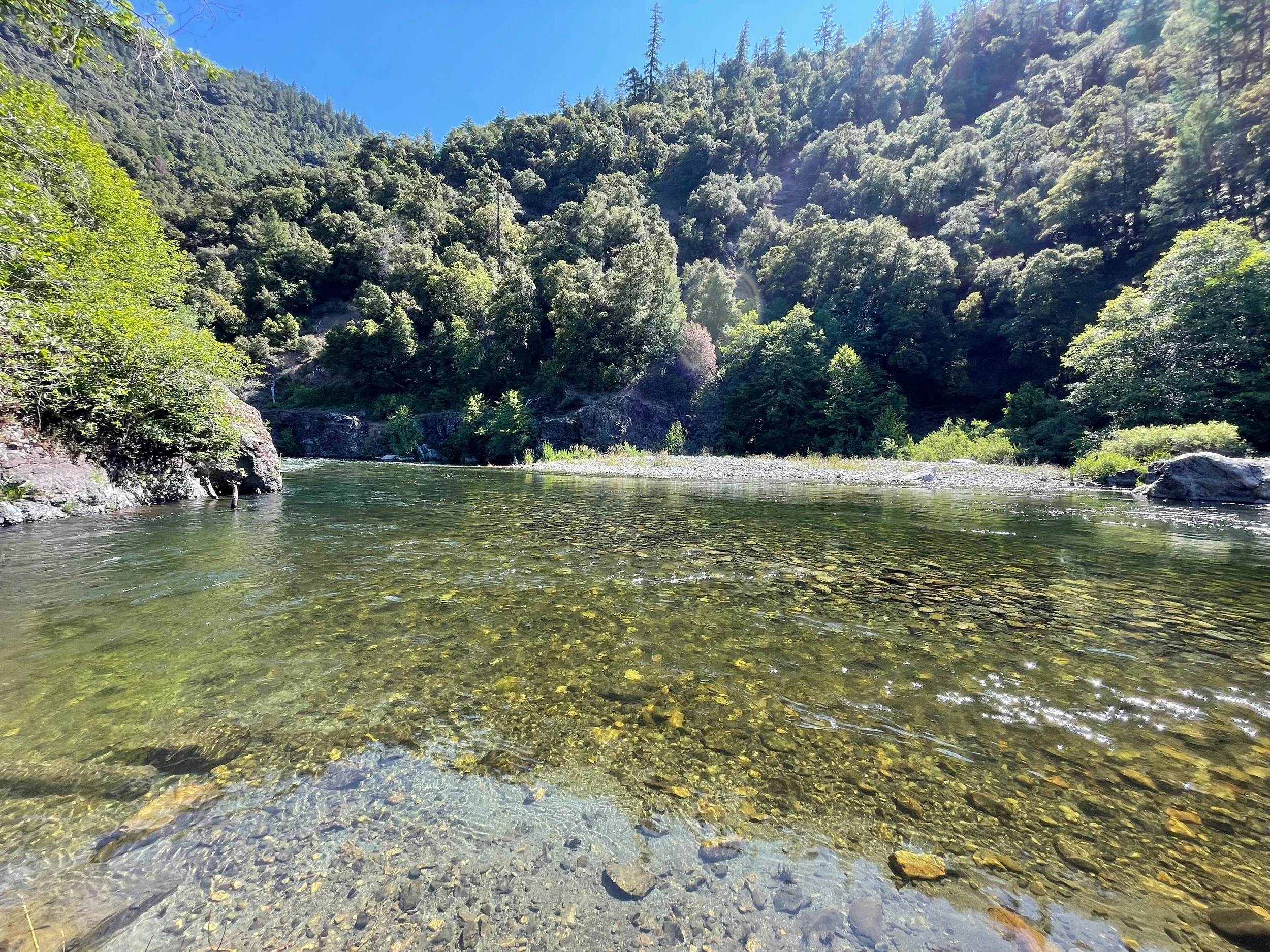
A cool, clear swimming hole along the Salmon River near the Nordheim Campground. Credit: Haleigh Martin
The Salmon River - Northern California
The Salmon River is a beautifully pristine yet overlooked river nestled in the Klamath National Forest. This 19-mile long river collects water from the Trinity Alps, Russian Mountains, and Marble Mountains and ultimately dumps into the Klamath River as one of its critical tributaries. Unlike other large rivers in California, the Salmon River is completely free-flowing, and less than 2% of the rivers watershed is privately owned with much of its watershed under federally-protected wilderness, making it a perfectly wild and accessible river for a summertime adventure! Find your own private swimming hole along the Salmon River Road or the Sawyers Bar Road in Siskiyou County.
Getting there: From I-5, take exit 773. Pass through the towns of Fort Jones and Etna, and turn onto Sawyers Bar Rd. Find ample swimming spots from pull-offs along the Sawyers Bar Rd, or travel to the town of Forks of Salmon to turn on to the Salmon River Rd or the Cecilville Rd. This trip is best paired with camping at one of the many USFS campgrounds along this route.
Clear Creek - Northern California
Located within the Siskiyou Wilderness, Clear Creek has earned its namesake with crystal clear waters tinted slightly with an emerald tone that make for the most inviting swimming holes. Waters come from tributaries within the Siskiyou Mountains where they collect in the canyons of Clear Creek and tumble through sculpted canyons before ultimately feeding the Klamath River just south of Happy Camp, CA. Activities on Clear Creek range from casual days soaking in the emerald waters to hiking or backpacking along the Clear Creek Trail deep within the Siskiyou Wilderness to whitewater kayaking. No matter if you’re seeking an adventure-packed day or want to cosplay a lizard and sunbathe on a rock, Clear Creek has something for you.
Getting there: There are numerous points to access Clear Creek depending on your adventure style. For an easy day trip, hike into the No Man’s Trailhead from Forest Service Road 15N32 outside of Happy Camp, CA. For hiking and backpacking, access the Clear Creek Trail from the Youngs Valley Trailhead from Forest Service Road 18N02 from Hwy 199. Get trail reports for the Clear Creek Trail from Siskiyou Mountain Club here.
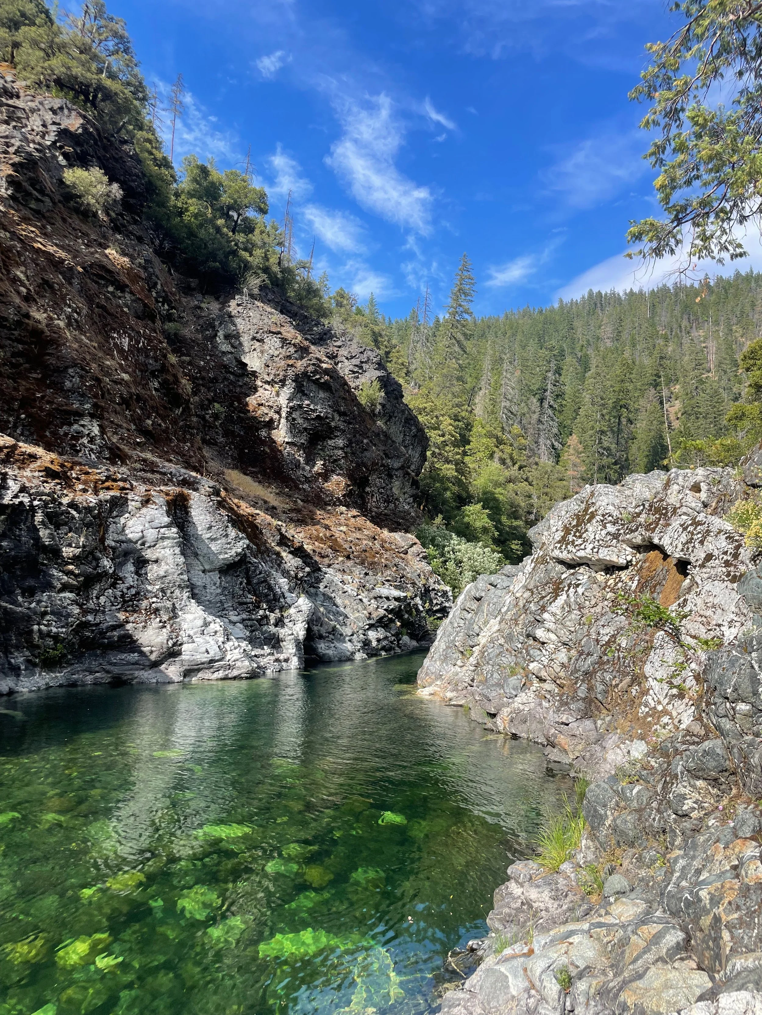
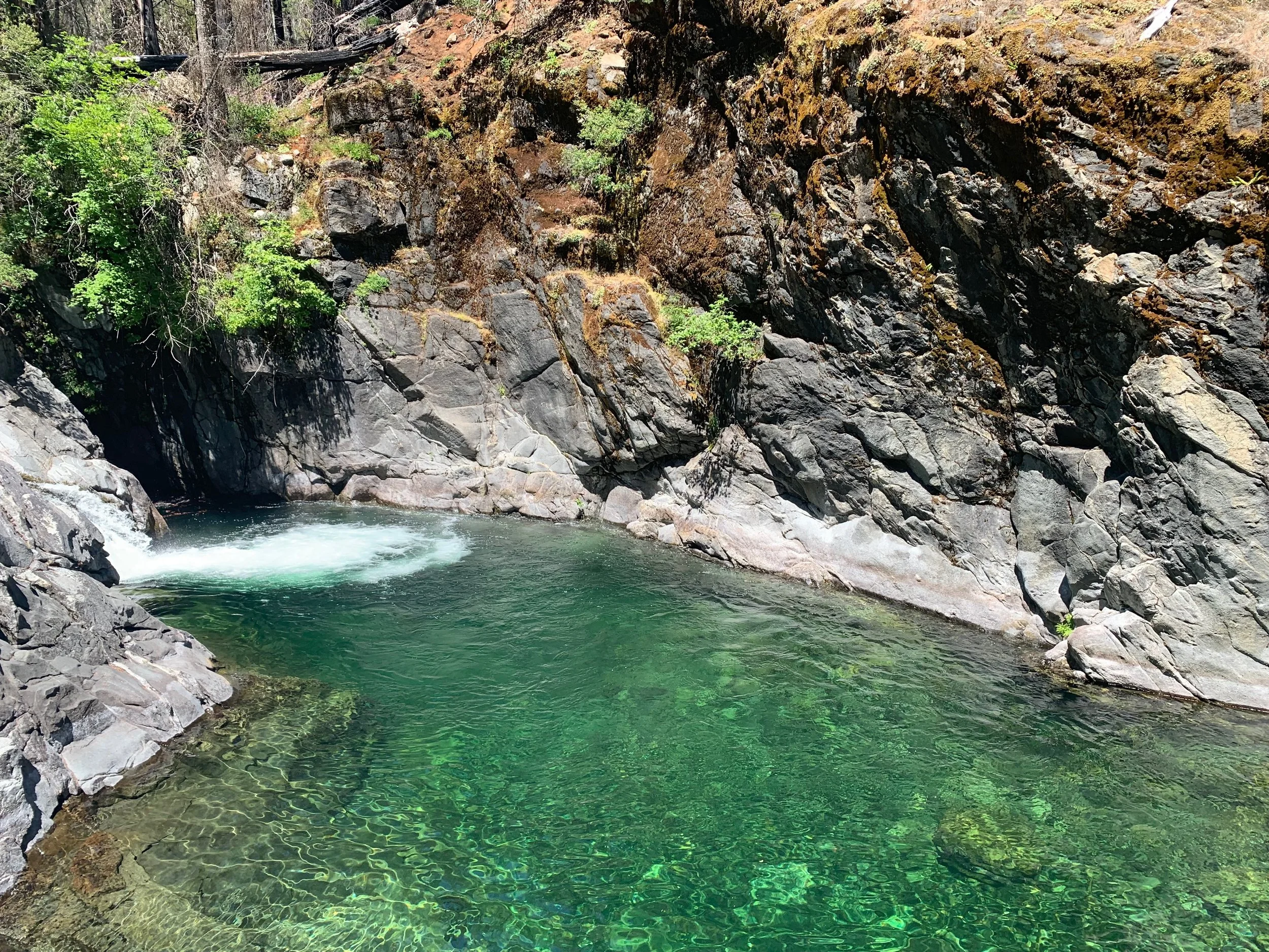
Clear Creek in the Siskiyou Wilderness. Credit: Haleigh Martin
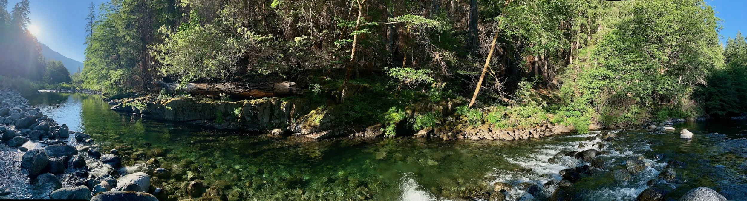
The perfect summer swimming hole in the Siskiyou Wilderness. Credit: Haleigh Martin
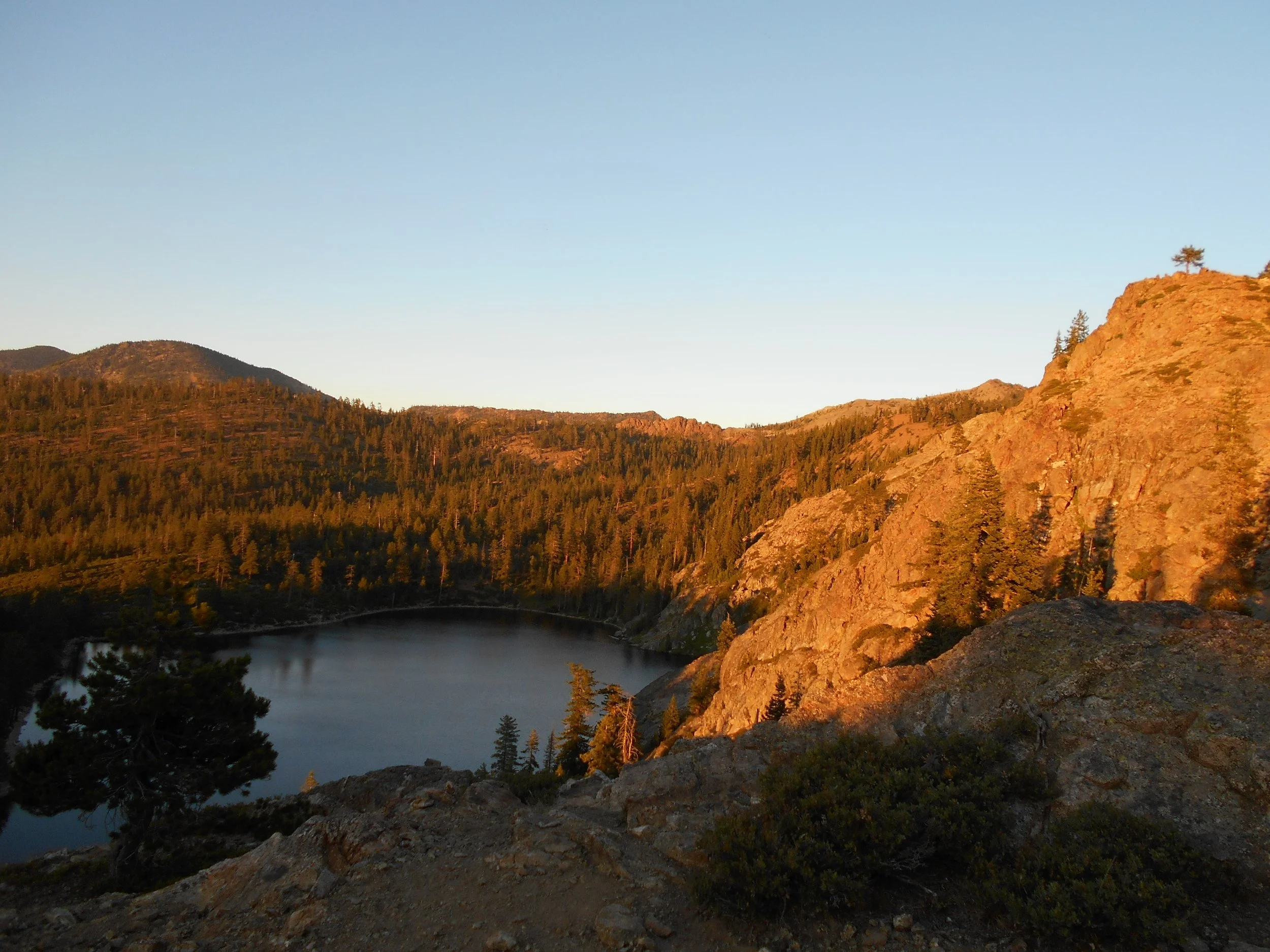
Sunset on Kangaroo Lake in the Klamath National Forest. Credit: George Sexton
Kangaroo Lake - Northern California
When it's sweltering in the valleys, the high elevation Forest Service campground at Kangaroo Lake offers a pleasant escape. Easy to access, you can drive right to the lake and stay put enjoying the swimming, paddleboarding, fishing and flowers, or hit the trail to explore the PCT and return to the lake for a cool dip. Don't expect to have the place to yourself; Kangaroo Lake campground is justifiably popular with car campers and families. Of the 18 available campsites, 13 are drive-in and 5 are walk-in.
Getting there: From the metropolis of Callahan, California take the Callahan-Gazelle paved road for 10 miles to the "Rail Creek" road which is signed for Kangaroo Lake another 8 miles up into the mountains. If you intend to stay and camp (which is recommended), make reservations on recreation.gov
Deadfall Lakes & Mount Eddy - Northern California
If you’re looking for a high-elevation hike to escape the heat that promises sweeping mountain views and lakes to cool off in along the way, look no further than the Deadfall Lakes basin. Through this hike, you’ll be greeted with wildflower meadows, numerous deep and cool lakes in the lake basin, and an opportunity to summit Mount Eddy — the tallest mountain west of I-5 — for a real challenge. The trailhead begins at 6,800’ elevation, so it’s a great way to escape the hot valley temperatures and be immersed in wild nature. Backpack-style camping is available around the lakes for an overnight experience too.
Getting there: From I-5, take exit 751 and head up Stewart Springs Rd to Forest Service Road 42N17. You’ll have the option to hike in from the PCT for a ~10 mile hike to the Mount Eddy summit or from the Deadfall Meadows trail for a ~7 mile hike that is slightly more difficult. The best part is you can end your hike by the lakes for a shorter adventure, or hoof it to the peak for the full backcountry experience.
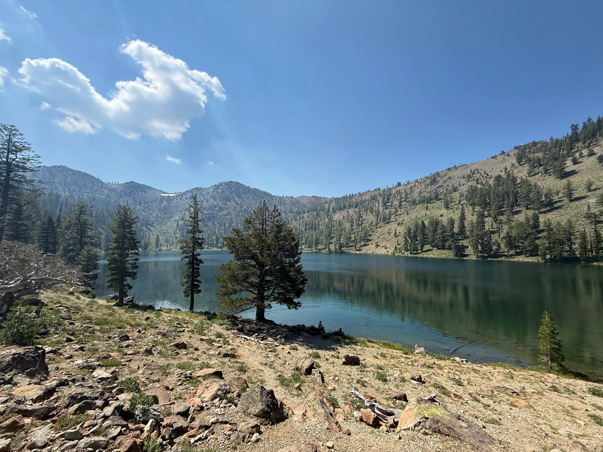
Deadfall Lakes at the base of Mount Eddy. Credit: Haleigh Martin
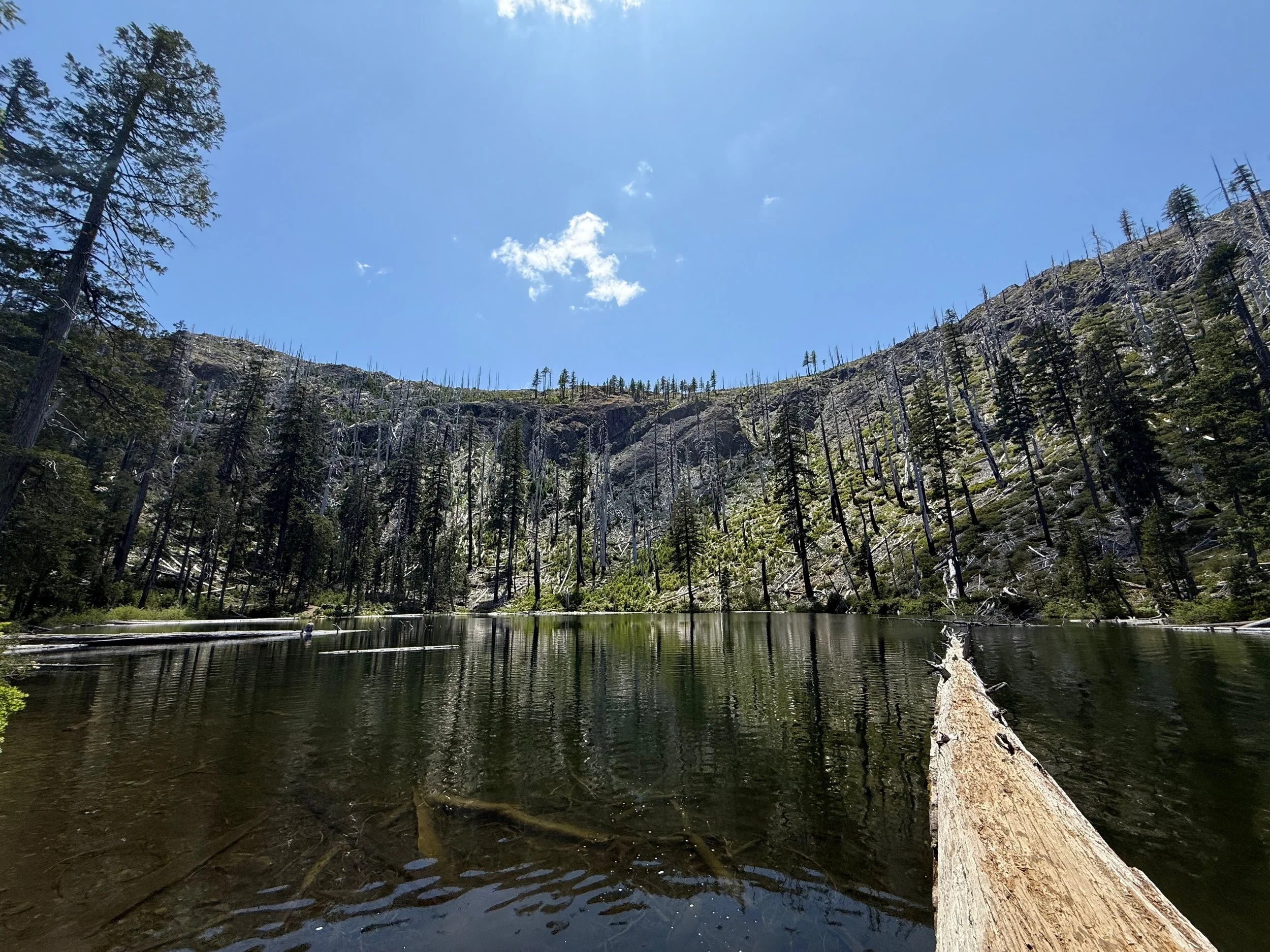
Babyfoot Lake nestled in the mountains at the edge of the Kalmiopsis Wilderness. Credit: Haleigh Martin
Babyfoot Lake - Southern Oregon
Babyfoot Lake is an easy 1.2 mile hiking route (2.4 round trip) into the eastern edge of the renowned Kalmiopsis Wilderness Area. The hike starts in a Forest Service clearcut that followed the 2002 Biscuit Fire, but quickly enters the unlogged wilderness where conifer regeneration and regrowth is taking hold in the post-fire landscape. The lake offers shade, fishing and excellent swimming.
While wilderness hike is gentle, the road to get to the trailhead is long and remote. Nevertheless it is suitable for low clearance two wheel drive vehicles.
Getting there: Get a Rogue River-Siskiyou National Forest map and a full tank of gas and take Forest Service Road 4201 from Hwy 199 just south of Selma, OR about 14.5 miles up to the parking lot that serves as the trailhead. Make a whole day of it by stopping at Eight Dollar Mountain Botanical Area while you’re in the area!
Fairy Ponds - Southern Oregon
When hot weather hits, cold water is the cure, and for Rogue Valley locals, the Ashland Fairy Ponds are easily accessible and provide cool water on the hottest summer days. With pools of cold, clear water up Ashland Creek just above Lithia Park, it’s not uncommon to find a hole to soak in all to yourself. From the parking lot, you have access to Granite Street Reservoir, and if you want to work up a sweat before cooling off in the cold Ashland Creek waters, consider hiking the Lower Wonder Trail to USFS Road 2060 for a ~4.5 mile trek through the Ashland Watershed with good elevation gain and views.
Getting there: Finding the mystical Fairy Ponds begins in Lithia Park. From downtown Ashland, take Winburn Way past the park to Granite Street, and follow the road until it turns to gravel and find parking by Granite Street Reservoir. You can stop here and swim in the reservoir, but for a more private experience, follow Ashland Creek upstream to find your very own pool.
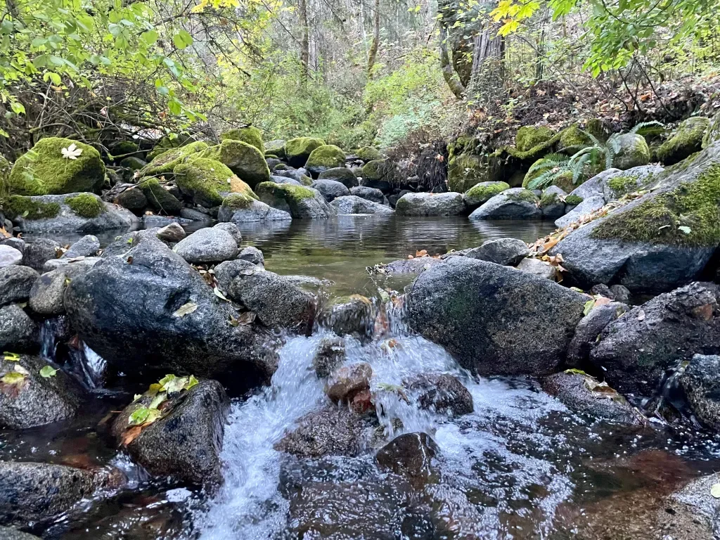
The Rogue River - Southern Oregon
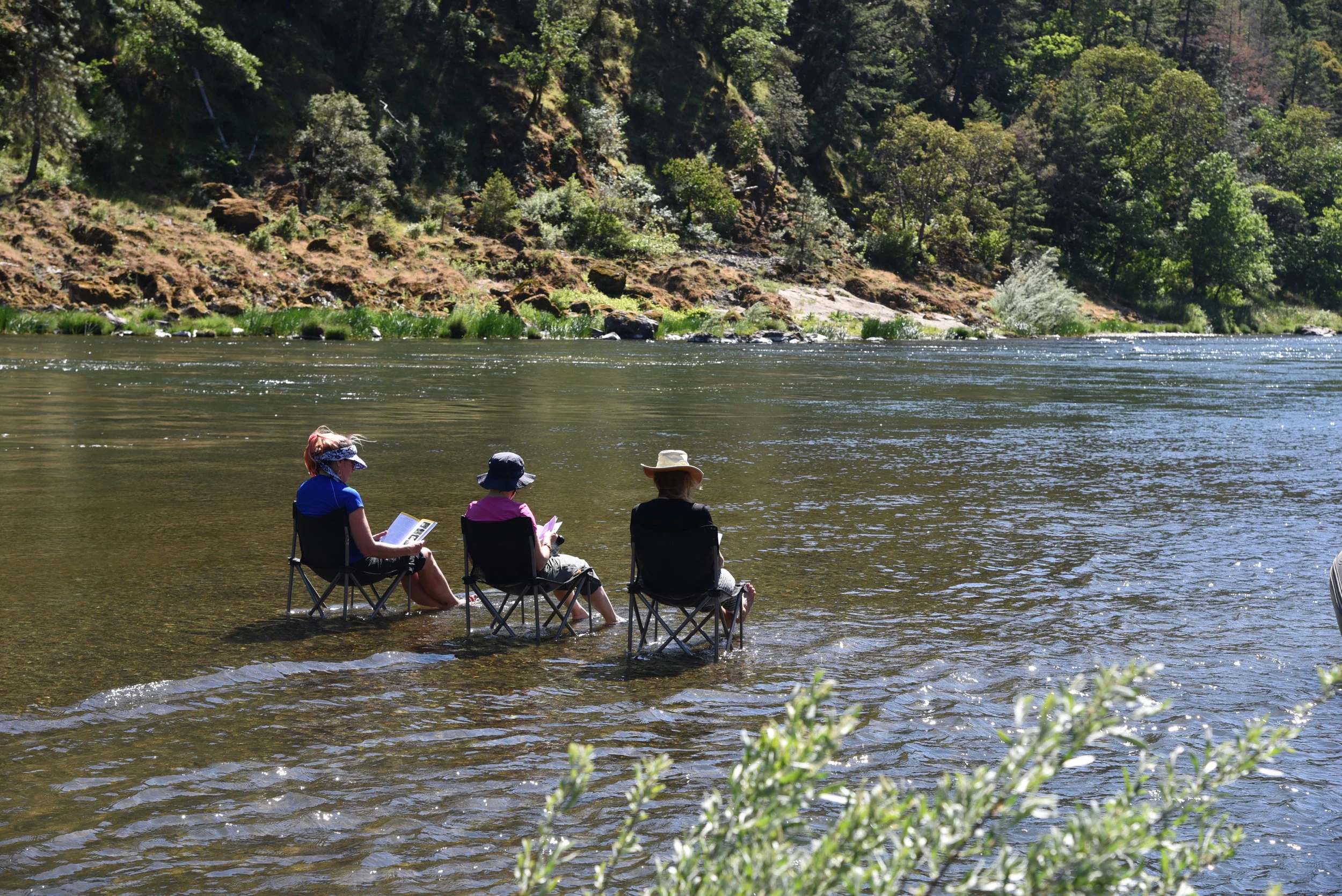
It wouldn’t be summer in Southern Oregon without a dip in the Rogue River. There are dozens of public access points to the Rogue River from the Upper Rogue River nearby Crater Lake all the way to the Pacific Ocean. While there are far too many swimming spots to list them all here, some of our favorites include Woodruff Bridge, Gold Hill Beach Park, Baker Park, and the many recreation sites along the lower Rogue like Rand, Ennis Riffle, and Robertson Bridge.
Note: If you’re visiting one of the County Parks, State Recreation Sites, or Campgrounds, be prepared to pay a parking or day use fee.
Want more inspiration?
Check out the Swim Guide - a FREE resource where you can see Rogue Riverkeeper’s weekly water quality data for over a dozen popular swimming sites across the Rogue River basin.